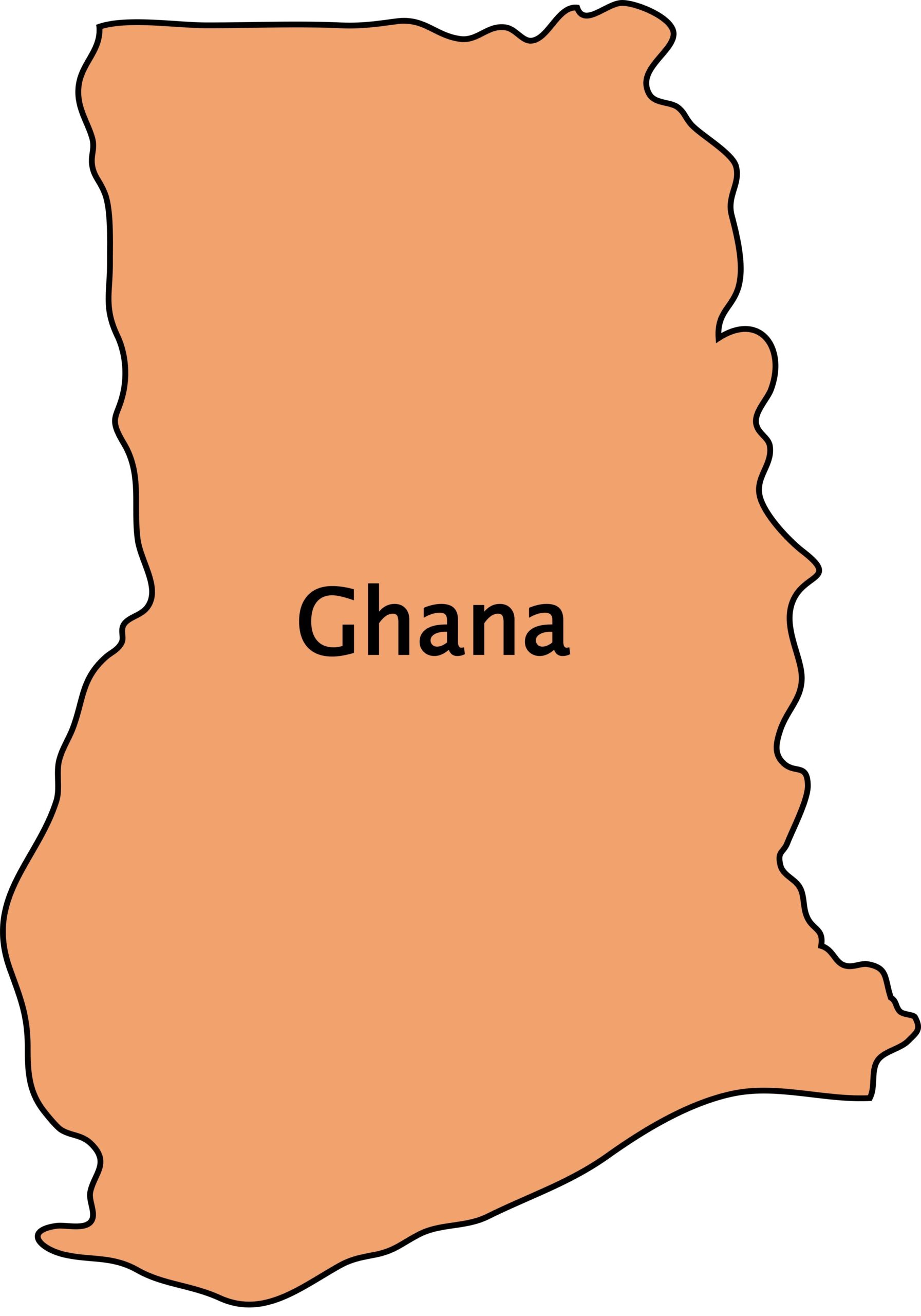
Introduction to Ghana
Ghana, situated on the west coast of Africa, is known for its rich history, diverse culture, and significant contributions to African development. Understanding Ghana through maps helps illuminate its geographical diversity, cultural heritage, and economic activities.
Geography and Topography
Ghana’s geography spans from coastal plains to tropical rainforests and savannahs, influenced by its location near the Gulf of Guinea. Key geographical features include the Volta River, which forms the largest artificial lake in the world (Lake Volta), and the Akwapim-Togo Ranges in the east.
Political Map of Ghana
Ghana is divided into 16 administrative regions and further into districts and municipalities. Accra, the capital city, and other major cities like Kumasi and Tamale are focal points on the political map, highlighting their administrative significance and population density.
Historical Maps of Ghana
Historical maps trace Ghana’s evolution from ancient times when it was home to powerful empires like the Ashanti and Ghana Empires, to the colonial period marked by European presence and boundaries defined by colonial powers.
Demographic Overview
Ghana’s population is diverse, comprising several ethnic groups such as the Akan, Mole-Dagbon, Ewe, and Ga-Dangme. The demographic map showcases population distribution, urbanization trends, and ethnic diversity across different regions.
Economic Maps and Facts
Ghana’s economy is primarily driven by agriculture, mining (especially gold), and services. Economic maps illustrate the distribution of natural resources, industrial zones, trade routes, and major economic activities contributing to Ghana’s GDP.
Cultural Diversity and Heritage
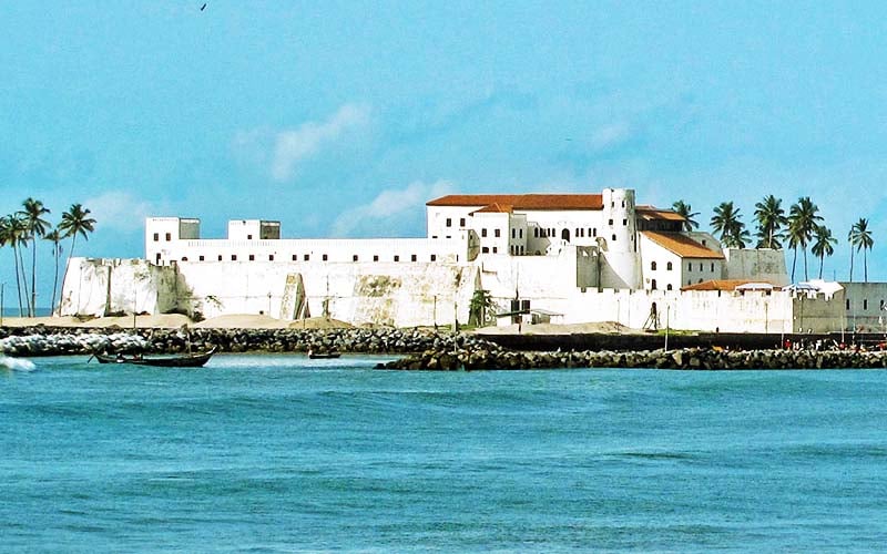
Cultural maps highlight traditional kingdoms, cultural sites, and UNESCO World Heritage Sites like the Cape Coast Castle and the Asante Traditional Buildings. Ghana’s cultural diversity is celebrated through festivals, music (including highlife and hiplife), and art.
Tourist Attractions and Destinations
Maps of tourist attractions feature historical landmarks such as Elmina Castle and natural wonders like Mole National Park. Ghana’s coastline offers beautiful beaches, while inland areas provide opportunities for ecotourism and wildlife viewing.
Current Issues and Challenges
Modern challenges facing Ghana include environmental issues like deforestation and pollution, socio-economic disparities between regions, and urbanization pressures. Maps depict these challenges and highlight areas needing attention for sustainable development.
Future Prospects and Development
Future development prospects in Ghana include infrastructure projects like the expansion of roads and railways, initiatives to diversify the economy beyond traditional sectors, and leveraging technology for sustainable growth.
Conclusion
Ghana’s maps and facts provide a comprehensive view of its geography, history, culture, economy, and challenges. By exploring Ghana through maps, we gain insights into its past achievements, present realities, and future aspirations, making it a fascinating case study in African development.
What is the size of Ghana map?
The size of Ghana on a map typically varies depending on the scale of the map being used. On a standard world map, Ghana is relatively small, covering an area of approximately 238,533 square kilometers (92,098 square miles).
What are 5 interesting facts about Ghana?
- Ghana was the first sub-Saharan African country to gain independence from colonial rule in 1957.
- It is renowned for its vibrant culture, music, and festivals, including the Ashanti Durbar and the Panafest celebrations.
- Ghana is the second-largest producer of cocoa globally, contributing significantly to the world’s chocolate supply.
- Lake Volta in Ghana is the largest artificial lake in the world by surface area, created by the Akosombo Dam.
- The country is home to several UNESCO World Heritage Sites, such as the Forts and Castles, including Cape Coast Castle and Elmina Castle.
What is the usefulness of Ghana map?
A map of Ghana is invaluable for understanding the country’s geography, including its physical features, political divisions, and economic activities. It helps in navigation, urban planning, resource management, tourism promotion, and education.
Where on the world map is Ghana?
Ghana is located on the west coast of Africa, bordered by Côte d’Ivoire to the west, Burkina Faso to the north, Togo to the east, and the Gulf of Guinea to the south.
What is Ghana best known for?
Ghana is best known for its peaceful political climate, rich cultural heritage, diverse wildlife, and significant contributions to African independence movements. It’s also renowned for its production of gold, cocoa, and vibrant traditional festivals.
What is the largest ocean in Ghana?
Ghana does not have a coastline along an ocean directly; instead, it borders the Gulf of Guinea, which is part of the Atlantic Ocean.
How many borders are there in Ghana?
Ghana shares land borders with three countries: Côte d’Ivoire to the west, Burkina Faso to the north, and Togo to the east.
What is the name of the largest river in Ghana?
The largest river in Ghana is the Volta River, which originates in Burkina Faso, flows southward through Ghana, and empties into the Gulf of Guinea.
Which country is very close to Ghana?
Togo is the country closest to Ghana, sharing a border on the eastern side of Ghana.
How many regions are in Ghana?
Ghana is divided into 16 administrative regions, each with its own distinct cultural and geographical characteristics.

- 10 Of The Most Unhealthy Fast-Food Restaurants In The US - October 2, 2024
- 10 Of The World’s Weirdest Fish - October 2, 2024
- 10 Of The Most-Visited Canadian Cities And Why - October 2, 2024